Dhaka, Bangladesh, 23 September 2025 — Rural roads are the lifeline of Bangladesh’s economy—connecting people to markets, schools, and health services. But when poorly planned, they can disrupt natural water flows, trigger flooding, erode easily, and damage the communities they are meant to serve.
The Global Center on Adaptation (GCA) is transforming rural roads into climate-smart infrastructure by supporting the development of “Green Roads for Water” in the World Bank’s Climate Smart Rural Transport Project (CSmaRT). At the heart of this innovation is women’s leadership—ensuring that roads not only support mobility but also strengthen resilience, manage water locally, and contribute to watershed-wide adaptation.
Women at the Center
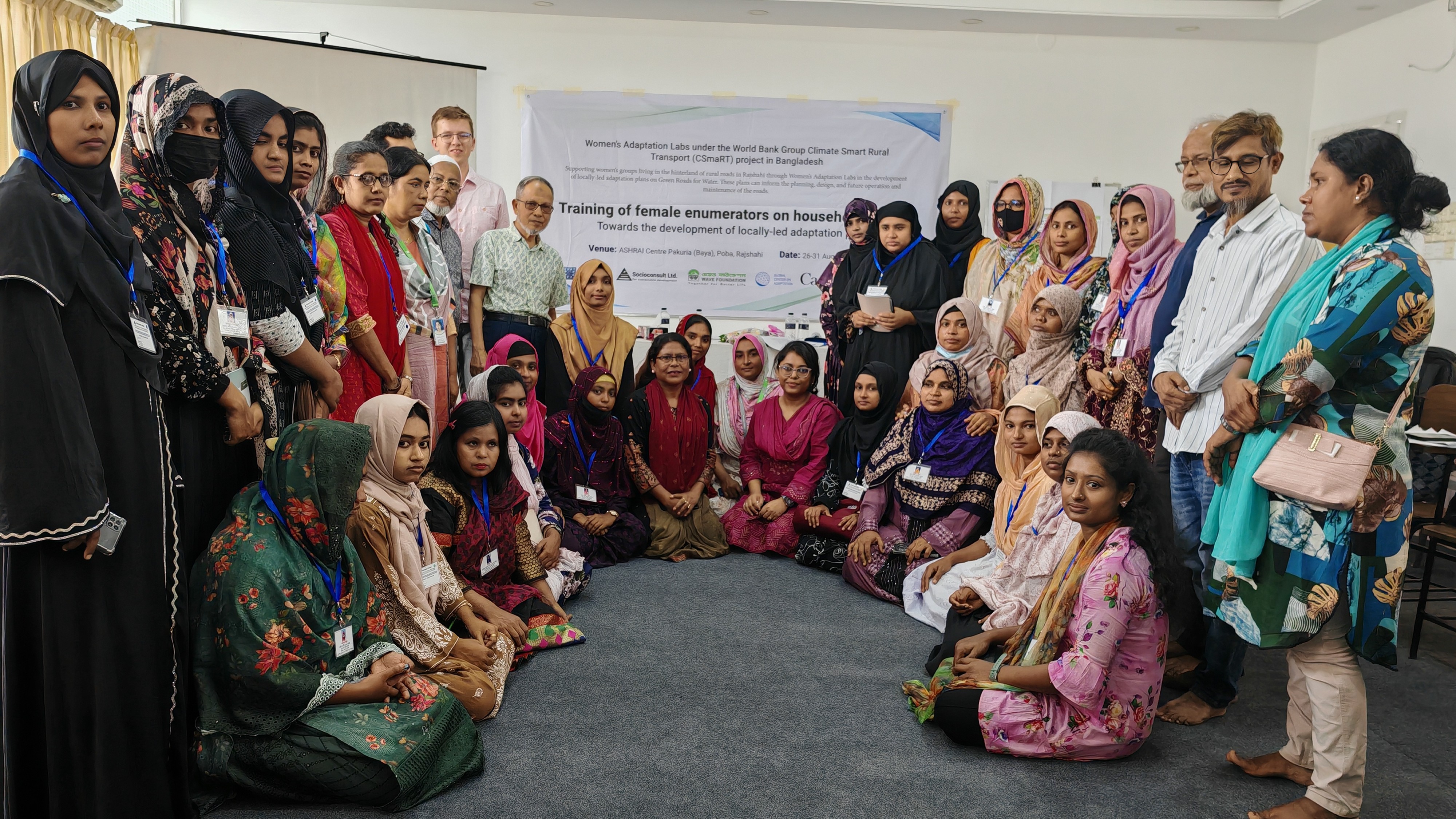
Traditionally excluded from road design and construction, women will lead the shaping of climate-resilient roads under the project. Women’s groups within five kilometers of select road corridors will be engaged in the design of the roads through Women’s Adaptation Labs.
The Women’s Adaptation Labs, supported by Global Affairs Canada, GCA and its partners—MetaMeta Research B.V., Socioconsult Ltd., and WAVE Foundation—will provide opportunities for the women’s groups to collaborate directly with engineers, hydrologists, and local experts. Their inputs, based on locally led planning, will support the design of roads that enhance water security, reduce climate risks, and link infrastructure to broader water management systems.
Two stretches of roads in Rajshahi district were selected for the intervention:
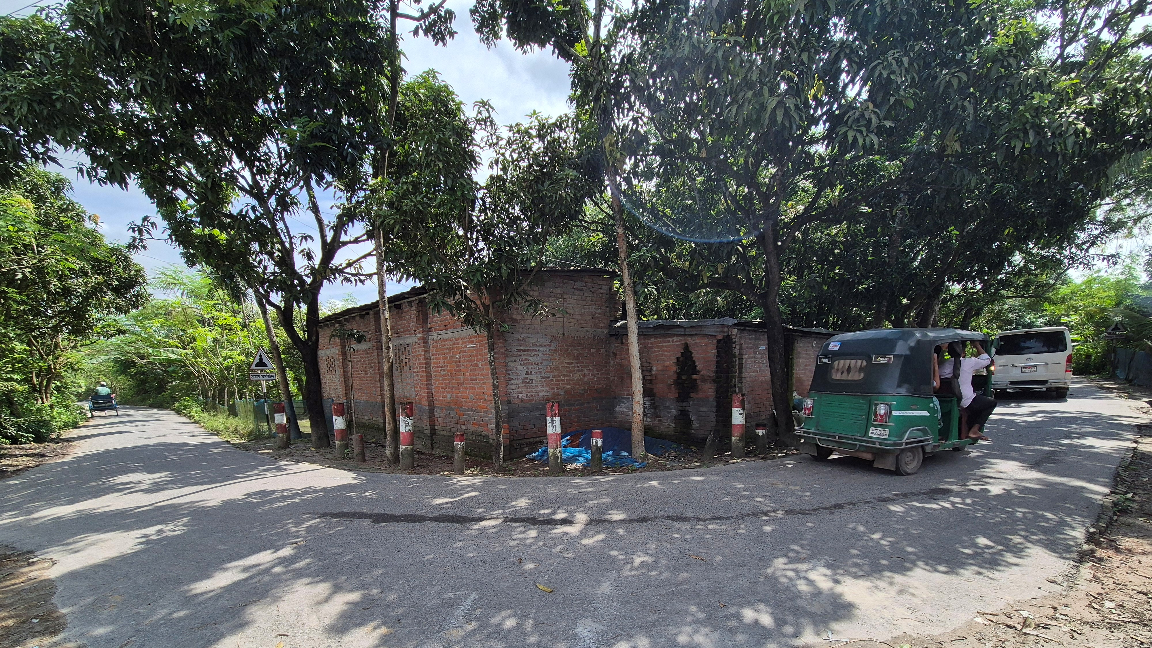
Mohonpur Road (6.71 km Union Road): Once an earthen track, now deteriorating under heavier traffic, rainfall erosion, and intensified waterlogging from nearby ponds and ditches.
Godagari Road (9.45 km Upazila Road): Originally earthen, later brick-paved and blacktopped, but increasingly compromised by heavy vehicles, slope erosion, rain-induced washouts, and climate stress.
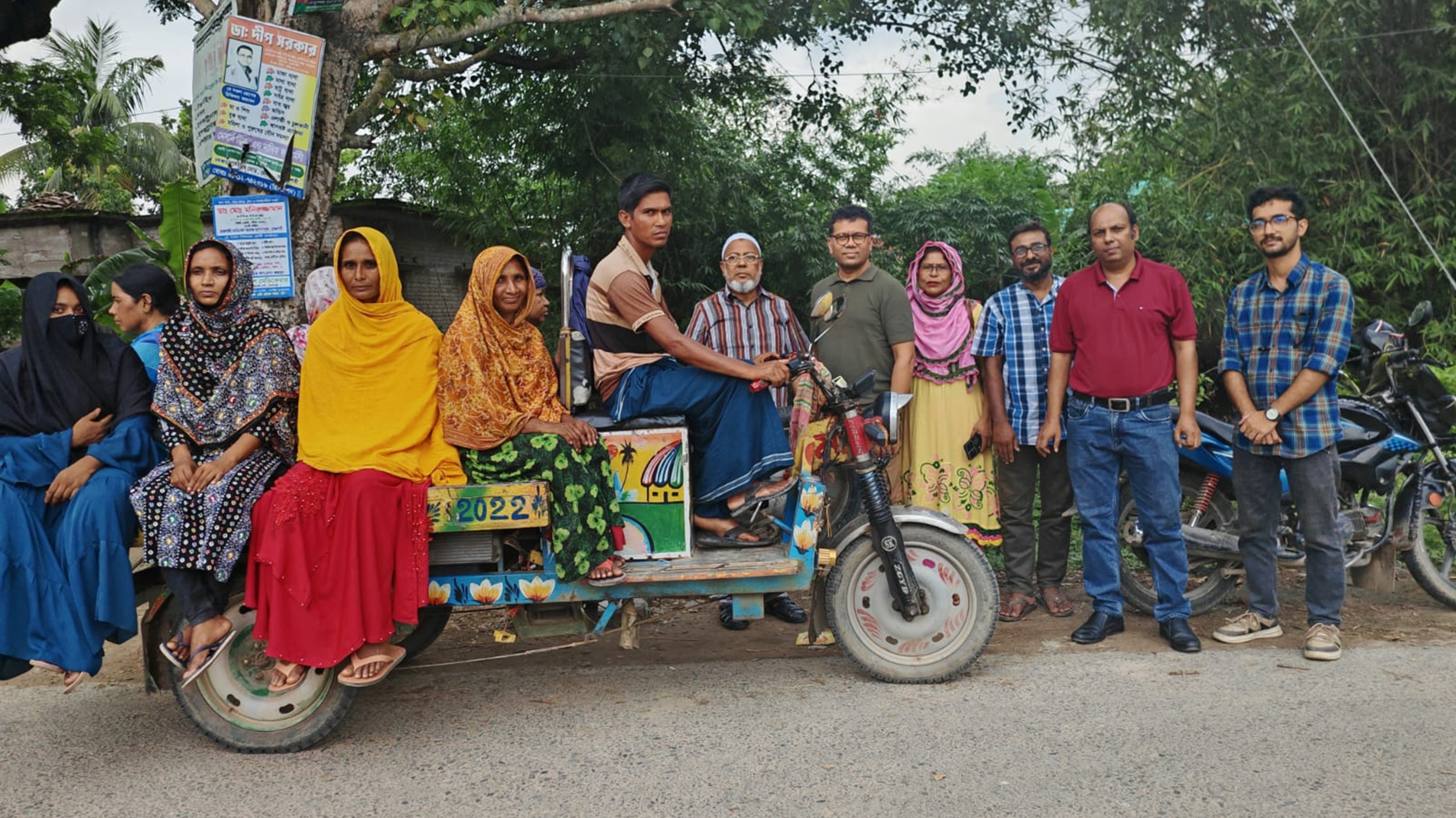
Following consultations with communities and Upazila Parishads in areas that will be covered by CSmaRT, GCA and partners have identified 15 mouzas (group of villages) and 17 villages, identifying 2,141 households located within 5 km on both sides of the roads.
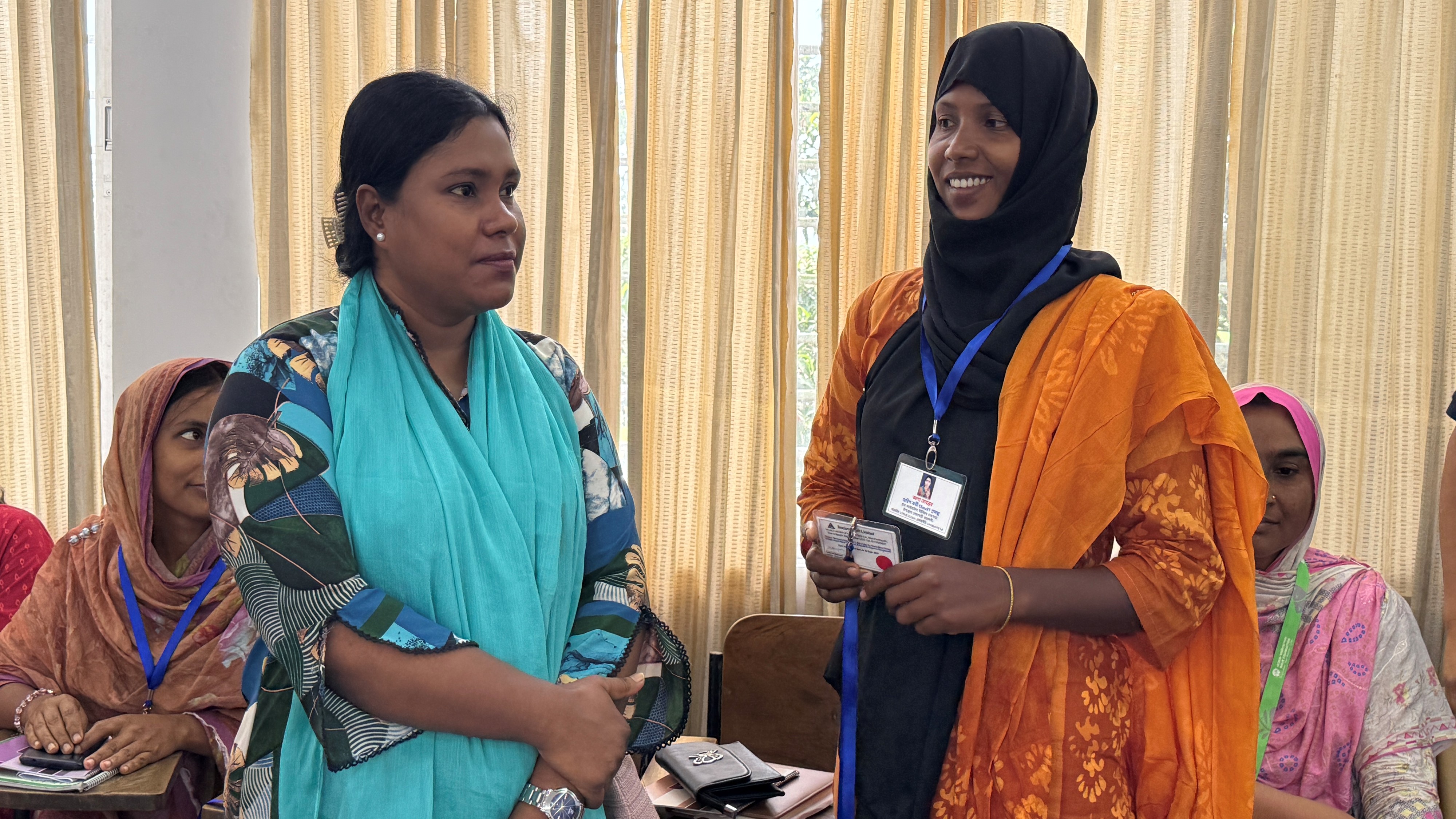
A rapid vulnerability risk assessment based on climate risks, women’s mobility, empowerment, and wellbeing informed this selection. A more detailed climate risk and vulnerability risk assessment will be led by 24 women from these communities, who are trained as community mobilizers and co-researchers. They were trained on locally led adaptation and Green Roads for Water approaches, communicating on climate change, the use of KOBO Toolbox for household data collection and interview techniques.
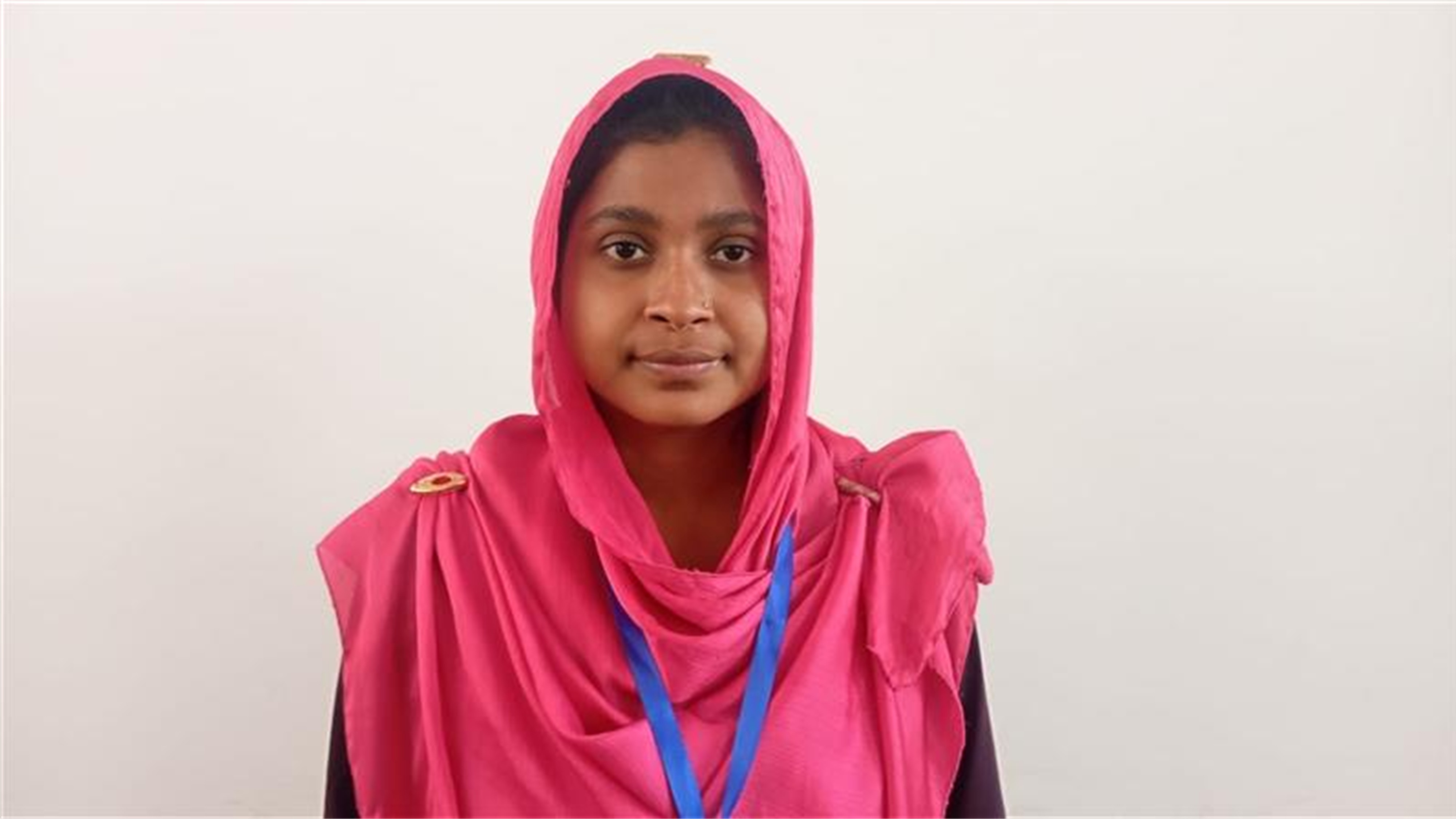
This training helped me understand how climate change affects our roads and how damaged roads can create ripple effects on agriculture, water resources, and our daily lives. I also learned that women like us can play a real role in shaping road design, consulting with engineers, and even maintaining the roads.
Between 1 September and 15 October 2025, the community mobilizers are conducting a rapid census of all households, followed by detailed surveys of 1,100 households through stratified random sampling. The results will inform the development of Women’s Adaptation Plans.
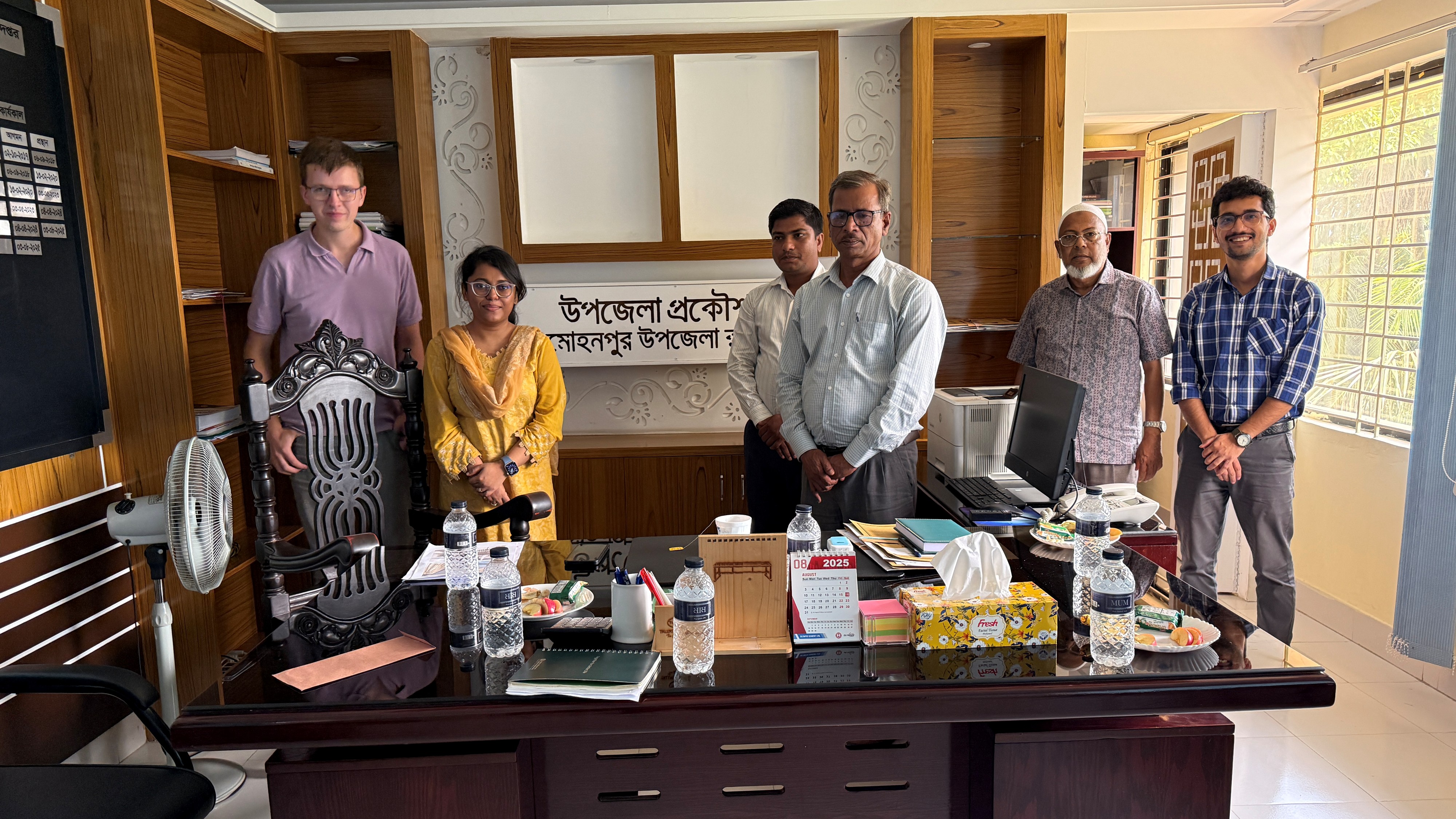
The engineers who will work on the CSmaRT project in the selected areas have expressed strong support for the approach. Md. Saidur Rahman, Upazila Engineer for Mohonpur, highlighted the role women can play in slope maintenance under rising climate stresses.
Md. Sadrul Islam, Upazila Engineer for Godagari, noted that existing labor practices engaging vulnerable groups through the Labor Contracting Society could be strengthened by lessons from the Women’s Adaptation Labs.
Dewan Abdus Sabur, Project Director at the Local Government Engineering Department (LGED), highlighted the importance of household survey data as a baseline for future planning, pointing to LGED’s current lack of granular GIS maps at settlement level.
“Women will now shape how roads are designed, constructed, and cared for, creating smarter, stronger, and climate-resilient infrastructure,” said Shahrin Mannan, Senior Program Officer at GCA.
Tackling Structural Gaps in Rural Road Planning
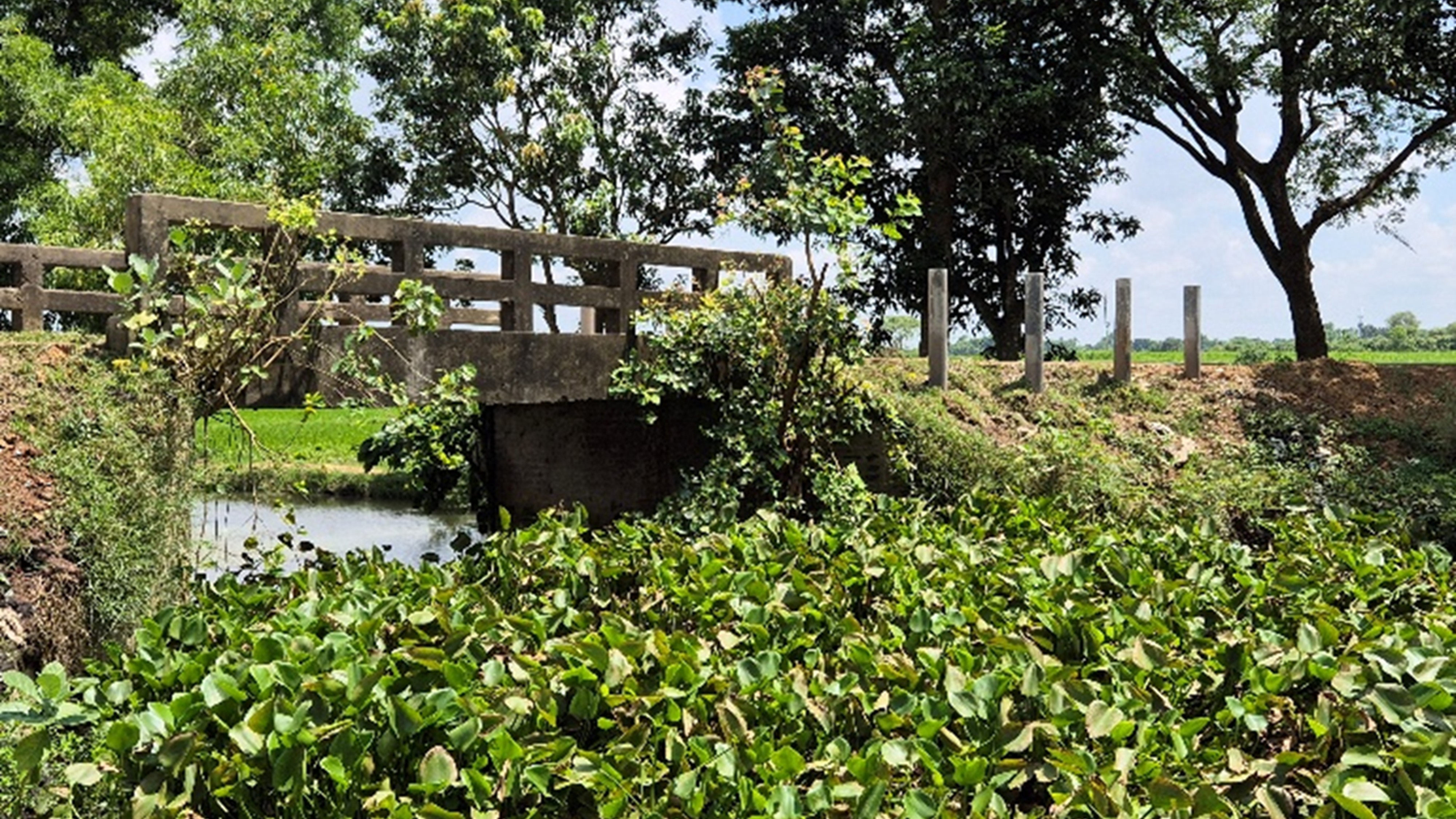
Historically, rural road planning in Bangladesh has focused narrowly on construction and repair, with limited integration of hydrological data or watershed-scale thinking. LGED, responsible for constructing and maintaining rural roads, follows the 2013 Rural Roads & Culverts Maintenance Policy, which emphasizes routine and periodic upkeep but lacks landscape-level approaches. While GIS tools are used, detailed settlement-level spatial data across rural corridors is missing.
The Green Roads for Water approach offers a breakthrough solution—systematically redesigning roads to capture, store, and manage rainwater, helping recharge depleted aquifers and tackle Rajshahi’s seasonal drought crisis.
Rajshahi, situated in the Barind region of northwestern Bangladesh, is identified as a climate hotspot in the Bangladesh Delta Plan and National Adaptation Plan. Characterized by vast barren lands, frequent droughts, and limited water availability, the region thrives briefly during the June-September monsoon before sliding into extended water scarcity for much of the year.
An initial assessment revealed critical weaknesses across both roads, including:
Inadequate cross-drainage facilities and narrowed bridge points restricting water flow.
Unstable, poorly vegetated road shoulders prone to erosion during heavy rains.
Weak connectivity between rural corridors and village roads.
Sharp, narrow bends reducing visibility and safety, particularly during rains.
Competing roadside land use that limits space for expansion or drainage infrastructure.