Kerala’s People-Powered Climate Response: Own the Data, Own the Solution
Address structural inequalities
Build understanding
Devolve decision making
Invest in local capabilities
Organization: EQUINOCT Community Sourced Modelling Solutions
2025 LOCAL ADAPTATION CHAMPIONS AWARD FINALIST
Kerala, a lush green state in southern India defined by its rivers and coastlines, is no stranger to water’s dual role as a source of life and destruction. From flash floods and tidal surges to saline intrusion and erratic rainfall, the state’s communities face mounting risks from climate change.
Everyday citizens are responding with a transformative idea: community-led data collection and participatory flood impact mapping.
They are proving that when communities own data, they own the solution.
When Communities Become Scientists
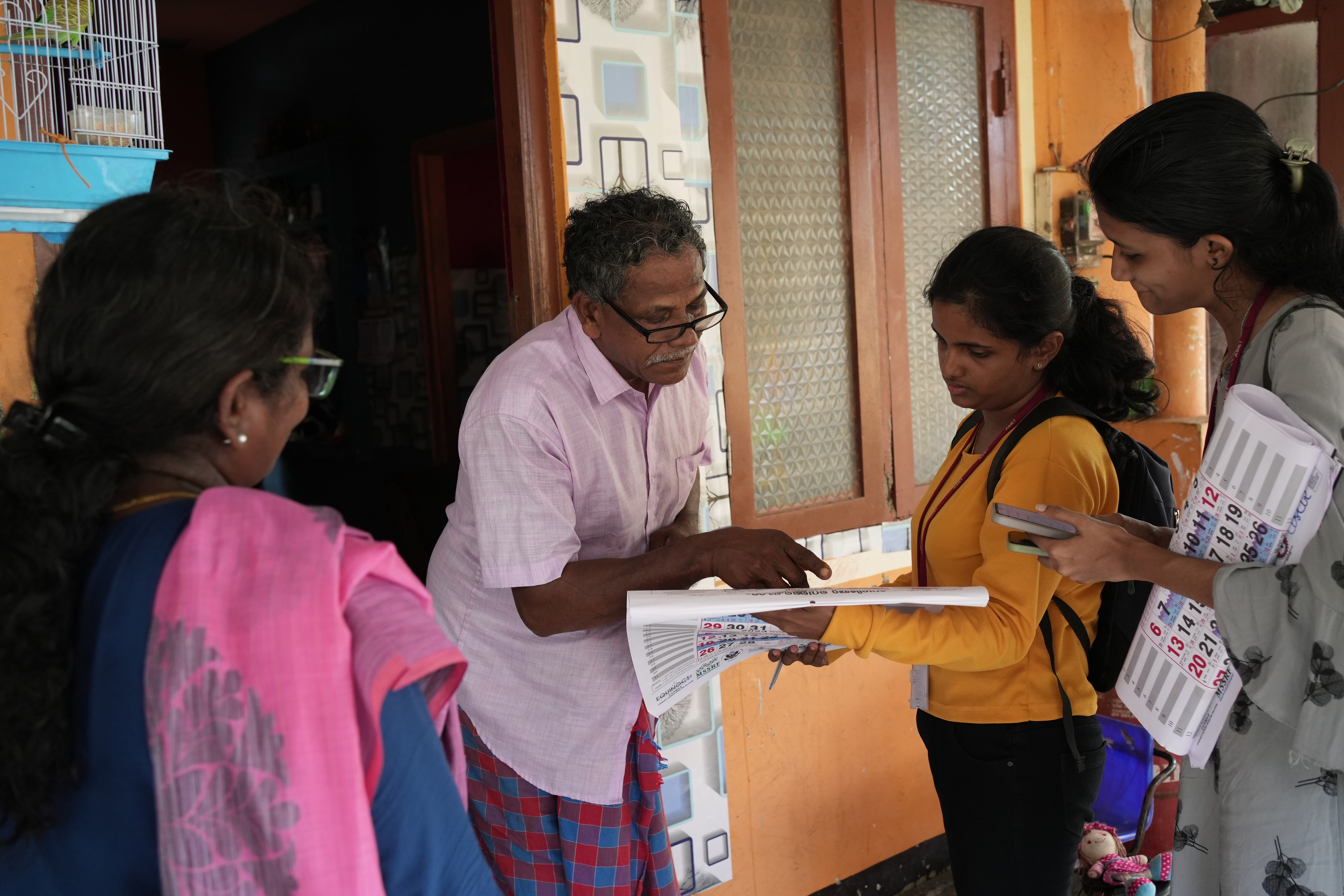
Students, farmers, and fisherfolk are using low-cost, open-source rain gauges to track rainfall across the Chalakudy and Periyar river basins, and in coastal panchayats. More than 100 devices have already been installed in schools and public spaces.
Unlike technical reports locked away in institutions, this data is open, accessible, and actively discussed within communities. Citizens interpret trends, map flood risks, and work with local governments to prepare together. The results are tangible: better disaster preparedness, reduced losses, and stronger trust between institutions and the people they serve.
EQUINOCT, the organization catalyzing this effort, has ensured collaboration at every step. Local self-governments help design and implement solutions. District disaster management authorities integrate citizen data into planning. Grassroots organizations like the Community Resource Centre in Puthenvelikkara co-manage funds and fieldwork—ensuring transparency, accountability, and local ownership.
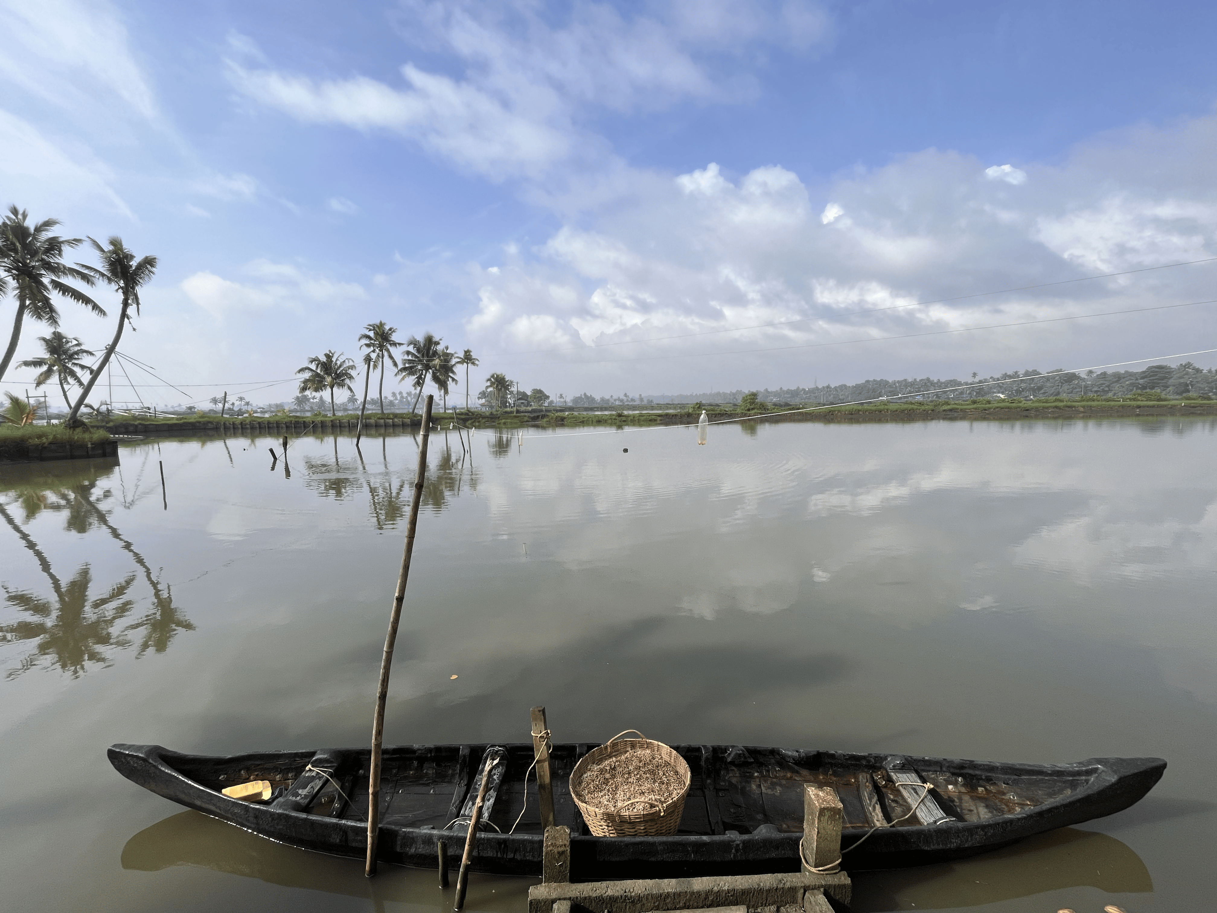
Community improvised tailored tapes as a manual tidal gauge
Tide calendar used by 10,000 coastal households to track flood timing and depth
Mapping Risks, Strengthening Response
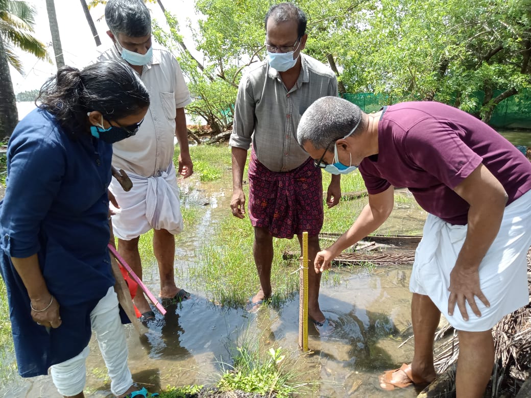
Floods and tidal surges are most devastating when infrastructure is unprepared. To change this, communities are leading participatory flood impact mapping—documenting blocked access routes, vulnerable households, and at-risk culverts, canals, and shelters.
Armed with these maps, local self-governments are upgrading drainage systems, strengthening shelters, and basing disaster preparedness plans on lived experience rather than guesswork.
When citizens collect rain data, map floods, and issue warnings, they do more than generate information—they reshape how governments respond, embedding inclusion, transparency, and trust into the heart of resilience.
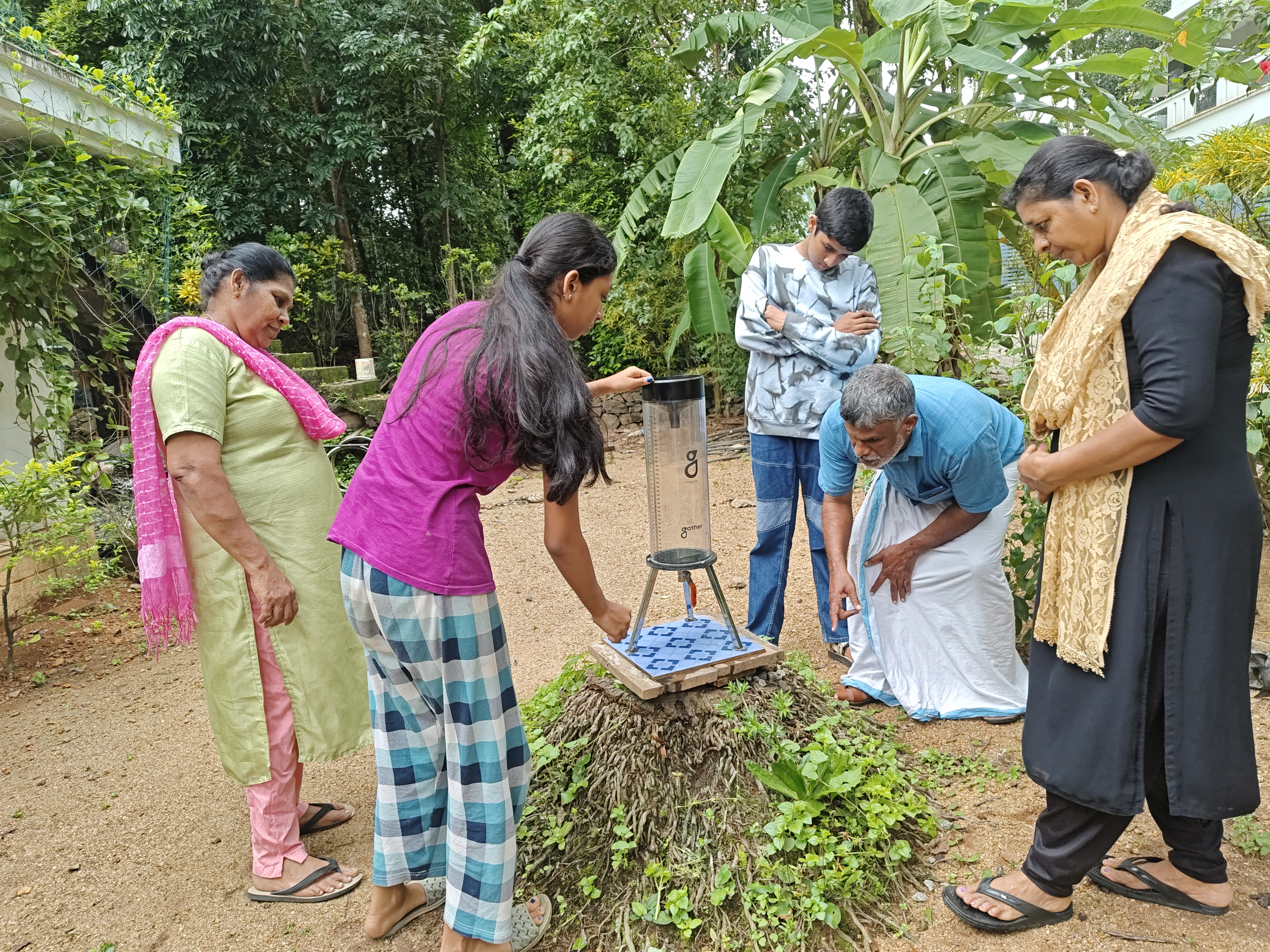
Rain gauges for community rainfall measurement and monitoring
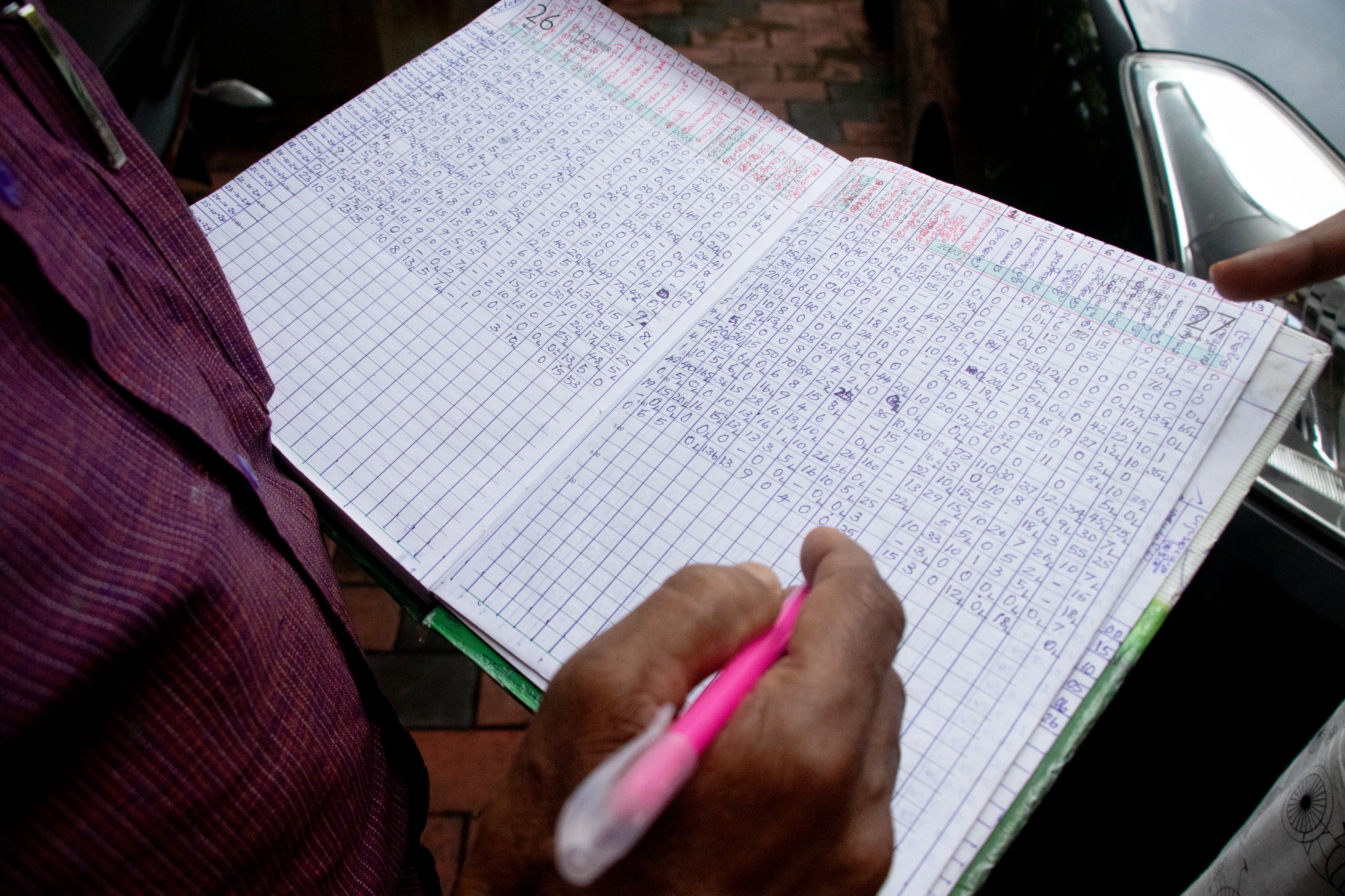
A citizen register on daily rainfall records being maintained meticulously for the past 5 years
Women, Youth, and Inclusion at the Center
This initiative is not only about tools, but also about who uses them:
Women’s Groups through Kerala’s Kudumbashree networks lead outreach, awareness, and monitoring.
Youth and Students act as citizen scientists, learning skills while protecting their communities.
People with Disabilities contribute to data networks and tool design, ensuring accessibility and inclusion.
A Model for Climate Adaptation
Kerala’s communities are proving that resilience is not delivered from the top—it is built together. By turning citizens into scientists, they are not only adapting to rising waters but reshaping institutions and securing their futures.
This citizen science model is now being piloted in the Chalakudy and Periyar basins. It is set to expand across the Western Ghats and into India’s coastal states, where floods and tidal surges increasingly threaten lives and livelihoods.
With open-source tools, participatory methods, and local ownership, the vision is clear: a nationwide network of empowered communities capable of monitoring risks, informing governments, and driving climate action before disaster strikes.
Training young citizen scientists on river basin geography and use of mobile apps for data collection